Lunch & Learn: New Rondout Creek USGS River Gage, A Local Flood Preparedness Case Study
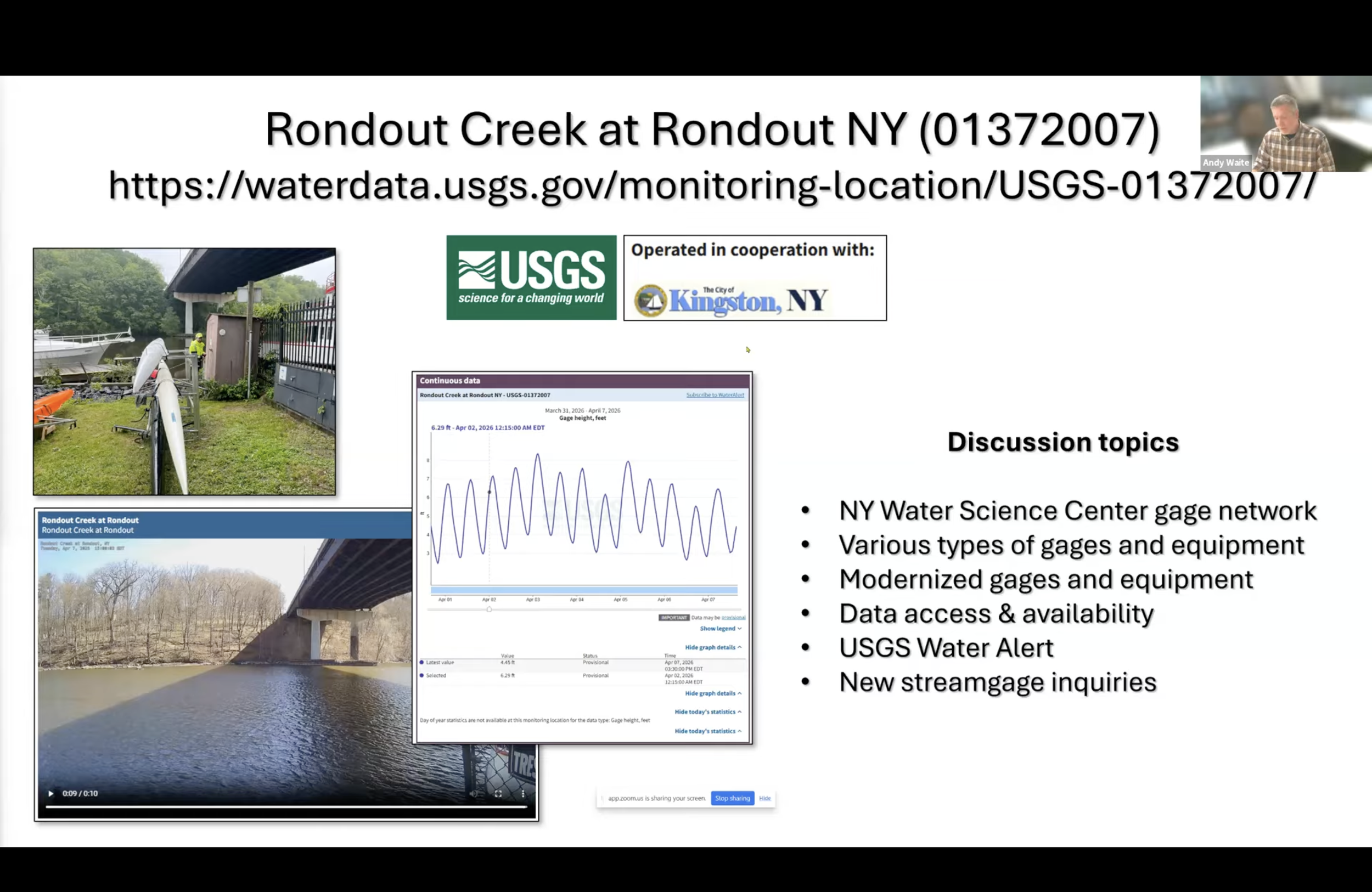
A screenshot from the Lunch & Learn with Andrew Waite, Network Operations Manager from the USGS New York Water Science Center.
The City of Kingston waterfront is situated along the mouth of the Rondout Creek as it enters the Hudson River. During storms, the waterfront may be impacted by flooding from high river flows combined with tides and storm surge. In summer 2025, the City of Kingston partnered with the US Geological Survey (USGS) to install a river gage near the mouth of the river to better understand flooding and to inform emergency communications with real time, localized data.
At this Hudson Valley Flood Resilience Network Lunch & Learn webinar on 4/9/26, Julie Noble, Kingston Sustainability Coordinator, shared about how the project came to fruition, including funding and lessons learned. Andrew Waite, Network Operations Manager from the USGS New York Water Science Center, provided context for how this tool fits into the regional data set and insight for how to have a gage installed in your community. Philip Orton, Research Associate Professor from the Stevens Institute of Technology, spoke about the Stevens Flood Advisory System and how the City of Kingston is partnering with the Institute to design a local forecast system to meet the needs of Kingston’s emergency response.
The Lunch & Learn program included time for Q&A, discussion, and community updates.
This program is sponsored by the Hudson River Estuary Program, New York State Department of Environmental Conservation, with support from the New York State Water Resources Institute at Cornell University.
***
The Hudson Valley Flood Resilience Network connects local governments committed to taking actionable steps to manage current and future flood risks. The Flood Resilience Network is co-facilitated by New York Sea Grant and the Hudson River Watershed Alliance.
Hudson Valley Flood Resilience Network programs and trainings are open to Members and Partners. Members are representatives from municipal and county governments in the Hudson River estuary watershed. This includes elected and appointed officials, staff, and volunteers. Partners are staff from agencies, regional organizations, or private-sector consulting firms working in the Hudson River estuary watershed that support Members’ flood resilience goals.
To join the Network and gain access to upcoming programs, visit https://www.hvfloodresiliencenetwork.org/join and complete the Member or Partner form based on your role. The Network is free to join.